Uganda is home to a number of active, dormant, and extinct volcanoes, most of which are concentrated in the Western Rift Valley (Albertine Rift) and along the country’s borders with Rwanda, the Democratic Republic of Congo (DRC), and Kenya. These volcanic formations have shaped Uganda’s geography, soil fertility, biodiversity, and human settlement patterns.
Uganda’s volcanoes are generally part of larger volcanic fields or mountain ranges such as the Virunga Mountains and the East African Rift System. While most are no longer active, their landscapes still bear evidence of past eruptions, including crater lakes, volcanic cones, and lava fields.
Major Volcanoes in Uganda
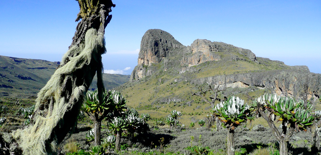
1. Mount Elgon (4,321 m / 14,178 ft)
- Type: Extinct stratovolcano.
- Location: Uganda–Kenya border, Eastern Uganda.
- Notes:
- Once the highest mountain in Africa before erosion reduced its height.
- Features one of the world’s largest calderas (about 60 km²).
- Last eruption is unknown, but it is considered extinct.
- Today, Mount Elgon National Park protects its slopes and biodiversity.
2. Mount Muhavura (4,127 m / 13,450 ft)
- Type: Dormant volcano, part of the Virunga Mountains.
- Location: Uganda–Rwanda border, Kisoro District.
- Last Eruption: Holocene epoch (geologically recent, within the last 10,000 years).
- Notes:
- Nicknamed “the guide” because its sharp peak is visible across the region.
- Popular trekking destination.
- Habitat for mountain gorillas and other species.
3. Bufumbira Volcanic Field (2,440 m / 8,005 ft)
- Type: Volcanic field with multiple small cones.
- Location: Southwestern Uganda near Kisoro.
- Last Eruption: Holocene epoch.
- Notes:
- Part of the broader Virunga volcanic system.
- Fertile soils support dense human settlement and agriculture.
4. Bunyaruguru Volcanic Field (1,554 m / 5,098 ft)
- Type: Volcanic field with numerous crater lakes.
- Location: Near the Katwe–Kikorongo volcanic system, Western Uganda.
- Last Eruption: Holocene epoch.
- Notes:
- Famous for its chain of crater lakes.
- Contributes to Queen Elizabeth National Park’s scenic beauty.
5. Fort Portal Volcanic Field (1,524 m / 5,000 ft)
- Type: Volcanic field.
- Location: Near Fort Portal, Western Uganda.
- Last Eruption: Holocene epoch.
- Notes:
- Features clusters of volcanic craters and crater lakes.
- Important for tourism and agriculture.
6. Mount Katunga (1,707 m / 5,600 ft)
- Type: Volcanic cone.
- Location: Southwestern Uganda.
- Last Eruption: Holocene epoch.
- Notes:
- Less prominent but part of the volcanic systems shaping the Western Rift.
7. Katwe–Kikorongo Volcanic Field (1,067 m / 3,501 ft)
- Type: Volcanic field with craters.
- Location: Western Uganda, within Queen Elizabeth National Park.
- Last Eruption: Holocene epoch.
- Notes:
- Famous for its salt lakes, especially Lake Katwe.
- Historically significant for local salt mining.
8. Kyatwa Volcanic Field (1,430 m / 4,692 ft)
- Type: Volcanic field.
- Location: Near the Rwenzori Mountains, Western Uganda.
- Last Eruption: Holocene epoch.
- Notes:
- Known for crater lakes and rich biodiversity.
Importance of Uganda’s Volcanoes
- Geological Heritage – Uganda’s volcanoes are part of the East African Rift, shaping the country’s dramatic landscapes.
- Biodiversity – Mountain gorillas, golden monkeys, and diverse montane ecosystems thrive in volcanic highlands.
- Tourism – Volcano trekking, crater lakes, and national parks attract global visitors.
- Cultural Significance – Some volcanic sites hold traditional and spiritual importance.
- Economic Value – Fertile volcanic soils support agriculture; salt mining at Katwe is a historical industry.
✅ In summary, Uganda’s volcanoes — from towering Mount Elgon and Muhavura to volcanic fields like Bufumbira and Katwe-Kikorongo — are a defining feature of its geography, ecology, and culture. Though most are geologically dormant, they continue to shape the country’s environment and human life.


