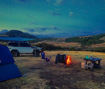
The Aberdare Range is a prominent mountain range located in Kenya, stretching 160 km north of the country’s capital, Nairobi. This upland region boasts an average elevation of 3,500 meters and is situated in Nyandarua County, west-central Kenya, northeast of Naivasha and Gilgil, and just south of the Equator.
Topology The Aberdare Range is a section of the eastern rim of the Great Rift Valley, running roughly north to south. The western side of the range falls steeply into the Kinangop Plateau and then into the Great Rift Valley. In contrast, the eastern side slopes more gently. From the peaks of the Aberdare Range, one can see Lake Naivasha and the distant Mau Escarpment.
Geography
- Maximum Elevation: The highest point in the Aberdare Range is 3,999 meters above sea level.
- Mount Satima: Known as “the mountain of the young bull,” Mount Satima is the highest peak in the range.
- Mount Kinangop: The second-highest peak, located at the southern end of the range, is Mount Kinangop, with an elevation of 3,906 meters.
- Mount Kenya: Situated east of the Aberdare Range, Mount Kenya stands at 5,199 meters and is the second-highest mountain in Africa after Kilimanjaro.
Ecology The AberdareRange is heavily forested, contributing to its rich biodiversity. The range’s forests and moorlands are home to a variety of flora and fauna, making it an important ecological zone in Kenya.
Significance The Aberdare Range plays a crucial role in Kenya’s natural landscape, offering scenic views, biodiversity, and acting as a significant water catchment area. Its proximity to major towns and the capital, Nairobi, enhances its importance both ecologically and economically.
References
- Nyandarua County, Kenya
- Great Rift Valley
- Lake Naivasha
- Mau Escarpment
- Mount Satima
- Mount Kinangop
- Mount Kenya


